Taranaki
Taranaki: the perfect cone of Mt Taranaki, New Plymouth arts, the Forgotten World Highway. Zero GYG tours, book direct. Real prices NZD/USD/EUR.
Quick facts
- Mt Taranaki
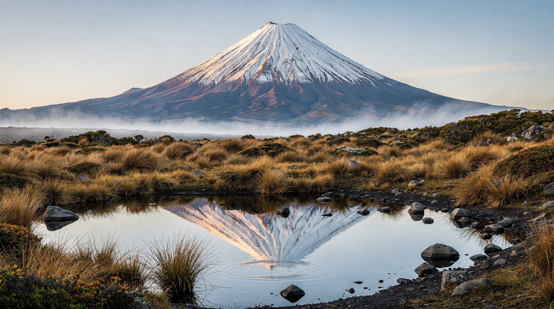
- 2,518 m — near-perfect symmetrical volcanic cone, visible 100+ km offshore
- New Plymouth
- Taranaki's main city, 75,000 people, strong arts and music scene
- Currency
- NZ$ — USD ~$0.60 / EUR ~$0.55
- GYG tours
- None available — book everything direct with local operators
- Distance from Wellington
- 355 km, 4.5 hours via SH1
The mountain that dominates everything
Mt Taranaki (also known as Mt Egmont) rises to 2,518 metres from the coastal plain of the Taranaki region in an almost perfectly symmetrical cone. From the air, from the sea, and from the roads that circle the mountain, it looks exactly like what it is: a stratovolcano built layer by layer over 130,000 years of repeated eruption cycles. To those with knowledge of volcanoes, it looks like the North Island’s own Fuji-san, or perhaps the Japanese mountain’s more compact cousin.
The cone is not just visually compelling. Egmont National Park, which encircles it within a near-perfect circle of 9.5 km radius, covers 33,543 hectares of montane and subalpine forest that is among the best-preserved in the North Island. The park exists because it has always been a national park — since 1900, the year New Zealand established its first national parks — and the surrounding dairy farms have nibbled at its edges but not the core.
New Plymouth, at the coast 12 km from the park boundary, is the Taranaki region’s main city. It has a surfing culture, an arts scene that includes the Govett-Brewster Art Gallery (one of New Zealand’s best contemporary art galleries) and the Len Lye Centre (a dedicated gallery for the kinetic sculptor who was one of New Zealand’s most significant international artists), a coastal walkway, and a character that is confidently regional rather than tourism-oriented.
Taranaki is not on most visitors’ North Island itineraries. It should be on more of them.
| Where | Taranaki region, west coast North Island |
| Getting there | Around 4.5 hours from Wellington or 2.5 hours from Hamilton by car |
| Time needed | 2 days minimum — 3 if attempting the summit climb |
| Cost | Mostly free walks and beaches; summit guiding around NZD 250-350 |
| Best time | December-March for the summit; year-round for New Plymouth and lower slopes |
Note on tours: There are currently no GetYourGuide tours available for Taranaki. Book all activities directly with local operators — details below.
The mountain itself
Mt Taranaki is classified as a potentially active stratovolcano. Its last significant eruption was approximately 250 years ago (around 1755); the most recent minor eruptions were in the 1850s. GeoNet monitors the mountain continuously. The risk of eruption in any given year is low but not zero, and the mountain’s history includes large-scale collapse events (the Pungarehu debris avalanche deposit extends 30 km from the summit).
For visitors, the volcanic context primarily manifests as extraordinary scenery rather than hazard. The summit climb (best December to March when snow is absent from the upper slopes; guided strongly recommended) takes 6–8 hours return from the Stratford Mountain House or North Egmont visitor centre. The upper mountain in winter is an ice climb requiring crampons and ice axe. Do not attempt the summit without a guide outside the December–March window. See our dedicated Mt Taranaki summit climb guide for a full route breakdown and gear checklist, and the broader Mt Taranaki guide for lower-slope options if the summit isn’t for you.
Phipps Mountain Guiding: Based in New Plymouth, runs guided summit climbs and circumnavigation expeditions year-round. Day summit climb NZD 250–350 / USD 150–210 / EUR 138–193 per person (group). Book directly through the Phipps website.
Summit Records Guided: Another established operator for Taranaki summit guides. Prices similar. Book direct.
What to do in Taranaki
Mt Taranaki — lower slopes and day walks: Several excellent walks from the North Egmont and Dawson Falls visitor centres require no guide and no special equipment year-round. The Translator Road track (1 hour return) and the Egmont visitor centre tracks (30–60 minutes) give the volcanic forest and mountain views without the summit commitment. The Pouakai Circuit (2 days, DOC huts) circumnavigates the summit cone at lower altitude through subalpine wetland and tussock.
Dawson Falls: 18 km from Stratford, an excellent 20-metre waterfall accessible via a 20-minute return walk. Good family activity. Free.
Around the Mountain Circuit (AMC): The 55 km circuit around Mt Taranaki takes 3–5 days through DOC huts. One of the North Island’s best multi-day walks and almost entirely overlooked by mainstream guides. Hut booking required. DOC hut fees NZD 18 / USD 11 / EUR 9.90 per night. Book through the DOC Whanganui office.
New Plymouth — Govett-Brewster Art Gallery and Len Lye Centre: The Govett-Brewster is the South Pacific’s leading contemporary art gallery. The adjacent Len Lye Centre, opened in 2015, is dedicated to the kinetic art of Len Lye (1901–1980), whose work is held in major international collections. Combined entry NZD 0 (Govett-Brewster is free; Len Lye screenings NZD 15 / USD 9 / EUR 8.25). Worth at least 2 hours.
Coastal Walkway, New Plymouth: The 13 km walkway runs along the foreshore from Port Taranaki to Fitzroy Beach. It passes the outstanding Wind Wand (a 45-metre steel kinetic sculpture by Len Lye) and the Te Rewa Rewa Bridge (a landmark pedestrian bridge with a stunning mountain view when Taranaki is clear). Free.
Surfing — Fitzroy and Back Beach: New Plymouth is a surf city. Fitzroy Beach is the main surfing beach — consistent, long, and adjacent to the walkway. Back Beach (1 km from Fitzroy) is better for experienced surfers. Taranaki’s Surf Centre and the New Plymouth surf schools offer lessons. Group lessons NZD 70–90 / USD 42–54 / EUR 39–50 for 2 hours. Book direct.
Pukeiti Garden: A 360-hectare rhododendron garden on the lower slopes of Taranaki, home to one of the world’s most significant collections of rhododendrons and related species. Spectacular in October-November (southern spring). Entry NZD 15 / USD 9 / EUR 8.25.
The Forgotten World Highway (SH43): The 155 km road from Taumarunui to Stratford (or reverse) through the Tangarakau Gorge and the interior of the North Island is one of New Zealand’s most scenic and under-appreciated drives. The road passes through the ghost town of Whangamomona (which declared itself a republic in 1989 and still issues its own passports to visitors at NZD 5 / USD 3 / EUR 2.75 each) and multiple gorge viewpoints. Allow 3–4 hours one way. The gravel section near the Tangarakau Gorge is navigable in a standard car but requires care.
Rail cart experience on the Forgotten World: Taumarunui Forgotten World Adventures runs motorised rail carts along the historic Stratford–Okahukura railway line (now closed to trains) through the Tangarakau Gorge. Book direct with Forgotten World Adventures, Taumarunui. Half-day from NZD 110 / USD 66 / EUR 61.
Where to stay in Taranaki
New Plymouth accommodation:
- Whalers Motor Inn: Central, mid-range. NZD 140–200 / USD 84–120 / EUR 77–110.
- King and Queen Hotel Suites: Boutique, central New Plymouth. NZD 200–300 / USD 120–180 / EUR 110–165.
- Base Hostel New Plymouth: Good backpacker hostel. Dorms NZD 28–40 / USD 17–24 / EUR 15–22.
On the mountain:
- Stratford Mountain House: On the road to Dawson Falls; comfortable mountain accommodation with mountain views. NZD 150–220 / USD 90–132 / EUR 83–121.
- Camphouses (Egmont National Park): DOC camphouses at North Egmont and Dawson Falls; bunk accommodation for trampers. From NZD 18 / USD 11 / EUR 9.90 per person.
Camping: Fitzroy Beach Holiday Park is the best-positioned campsite for New Plymouth visitors. Power sites NZD 40–55 / USD 24–33 / EUR 22–30.
What to eat and drink
Nice Hotel Bistro: The best restaurant in New Plymouth for evening dining; NZ-sourced ingredients, good Taranaki and national wine list. Mains NZD 30–46 / USD 18–28 / EUR 16.50–25.
Arborio: Art gallery cafe adjacent to the Govett-Brewster; good lunch and coffee. Mains NZD 18–28 / USD 11–17 / EUR 10–15.
La Boca Loca: The most popular cafe on the New Plymouth coastal walkway; great position, good coffee. Open from 7am.
Bach on Breakwater: On the inner harbour; excellent for seafood and a Tasman Sea sunset view.
Deli Café: Good for a quick breakfast before a mountain walk.
Skip / worth it / splurge
- Skip: Taranaki entirely if volcanic cone views are not interesting to you — but the combination of mountain + city is genuinely distinctive and the arts scene in New Plymouth is nationally significant
- Worth it: Coastal Walkway, New Plymouth (free) — 13 km, the mountain view from Te Rewa Rewa Bridge on a clear day justifies the visit
- Worth it: Govett-Brewster/Len Lye Centre (free for gallery; NZD 15 / USD 9 / EUR 8.25 for screenings) — the best contemporary art in the North Island outside Auckland
- Splurge: Guided Mt Taranaki summit climb in summer (NZD 250–350 / USD 150–210 / EUR 138–193) — physically demanding but the crater rim view is extraordinary
Parihaka: passive resistance and the Taranaki wars
Taranaki’s Maori history is not incidental scenery — it is one of the most significant and painful chapters in New Zealand’s colonial story. In the 1860s, the Crown confiscated large areas of Taranaki land following the Taranaki Wars, provoked in part by disputed land sales at Waitara. The confiscations dispossessed Taranaki iwi (including Te Ati Awa, Taranaki, and Ngati Ruanui) of much of their ancestral land around the mountain.
The response, from the 1870s, centred on the village of Parihaka, led by the prophets Te Whiti o Rongomai and Tohu Kakahi. Parihaka became a centre of organised, deliberately non-violent resistance to further land confiscation and survey — ploughing disputed farmland and removing survey pegs rather than taking up arms. On 5 November 1881, around 1,600 government troops invaded Parihaka, arrested Te Whiti and Tohu without trial, and destroyed much of the village. The event is now recognised as one of the most significant instances of state violence against a peaceful community in New Zealand history, and 5 November is marked with commemorations at Parihaka each year.
Parihaka itself, near the coast southwest of New Plymouth, remains a living Maori community rather than a museum. Visitors are welcome to view the historic site respectfully from the road, but it is not set up as a tourist attraction — treat it as you would any place of genuine, ongoing significance to the people who live there. The Puke Ariki museum in New Plymouth (free entry) has a well-regarded permanent exhibition on Taranaki Maori history, the wars, and Parihaka, and is the appropriate place to learn the fuller story before or instead of visiting the site itself. Our Maori culture overview guide sets Taranaki’s history in the wider national context.
Wildlife and native forest in Egmont National Park
The forest ringing Mt Taranaki is one of the best-preserved examples of montane and subalpine native bush left in the North Island, precisely because its near-perfect circular boundary has kept farming at bay since 1900. Lower slopes carry dense podocarp-broadleaf forest (rimu, kamahi, and the distinctive goblin forest of stunted, moss-draped kamahi and rata found at higher altitude), giving way to subalpine scrub and tussock above the bushline.
Predator control by DOC and community trapping groups has helped native bird populations recover in pockets of the park — kereru (native wood pigeon), tui, and pied tomtit are commonly seen and heard on the lower walking tracks, and North Island brown kiwi survive in isolated pockets of the park, though sightings by daytime visitors are rare (kiwi are nocturnal and shy). The dawn chorus on the Pouakai Circuit is one of the more underrated wildlife experiences on the North Island — genuinely worth an early start if you’re camping the route.
How to fit Taranaki into your itinerary
Taranaki is accessible from Hamilton (2.5 hours) or Wellington (4.5 hours) — see the Waikato guide for what sits between Hamilton and Taranaki. On a North Island circuit, it fits most naturally as a 2-night detour between Hamilton and Wellington, or as the entry point to a Forgotten World Highway drive south. For a wider view of North Island road-trip planning, see the 7-day North Island itinerary.
The most complete Taranaki structure: New Plymouth (night 1) → Egmont National Park day walks or summit climb (day 2) → Forgotten World Highway to Taumarunui (afternoon/night 2) → connect to Rotorua or Lake Taupo. Surfers cross-shopping the west coast against Raglan further north will find Taranaki’s Fitzroy and Back Beach a quieter, less crowded alternative with a similarly consistent swell.
Frequently asked questions about Taranaki
Can I climb Mt Taranaki without a guide?
Technically yes — the mountain is in a national park and access is unrestricted. However, the upper mountain has unpredictable weather, steep terrain, and conditions that change rapidly. DOC and the mountain rescue service strongly recommend guided ascent above the bushline, particularly outside the December-March window. Self-guided trampers below the bushline (the lower walk circuit and day tracks) do not require a guide.
What is the Forgotten World Highway and is it worth the detour?
SH43 is a 155 km road connecting Taumarunui and Stratford through the Tangarakau Gorge and the North Island interior. It is officially a state highway but feels like a back country road through much of its length. The self-declared republic of Whangamomona (since 1989), the gorge scenery, and the Forgotten World Adventures rail cart experience make it a genuine experience rather than just a route. Allow a full day; combine with New Plymouth for a 2-day Taranaki extension.
Is Mt Taranaki dormant?
Mt Taranaki is considered potentially active. Its last significant eruption was approximately 1755; GeoNet monitors it as a potentially active volcano. The risk of eruption in any given timeframe is low by comparison with Whakaari or Ruapehu, but it is not zero. The mountain is safe to visit under normal conditions.
What happened at Parihaka and can I visit?
Parihaka was a Taranaki Maori community built around organised, non-violent resistance to land confiscation, invaded by government troops in 1881 in one of the most significant episodes of state violence in New Zealand’s history. It remains a living community today rather than a tourist site — visitors can view it respectfully from the road, but the fuller story is best learned at the Puke Ariki museum in New Plymouth (free), which covers the wars and Parihaka in detail.
Top experiences: taranaki New Zealand
See all →Guides for Taranaki
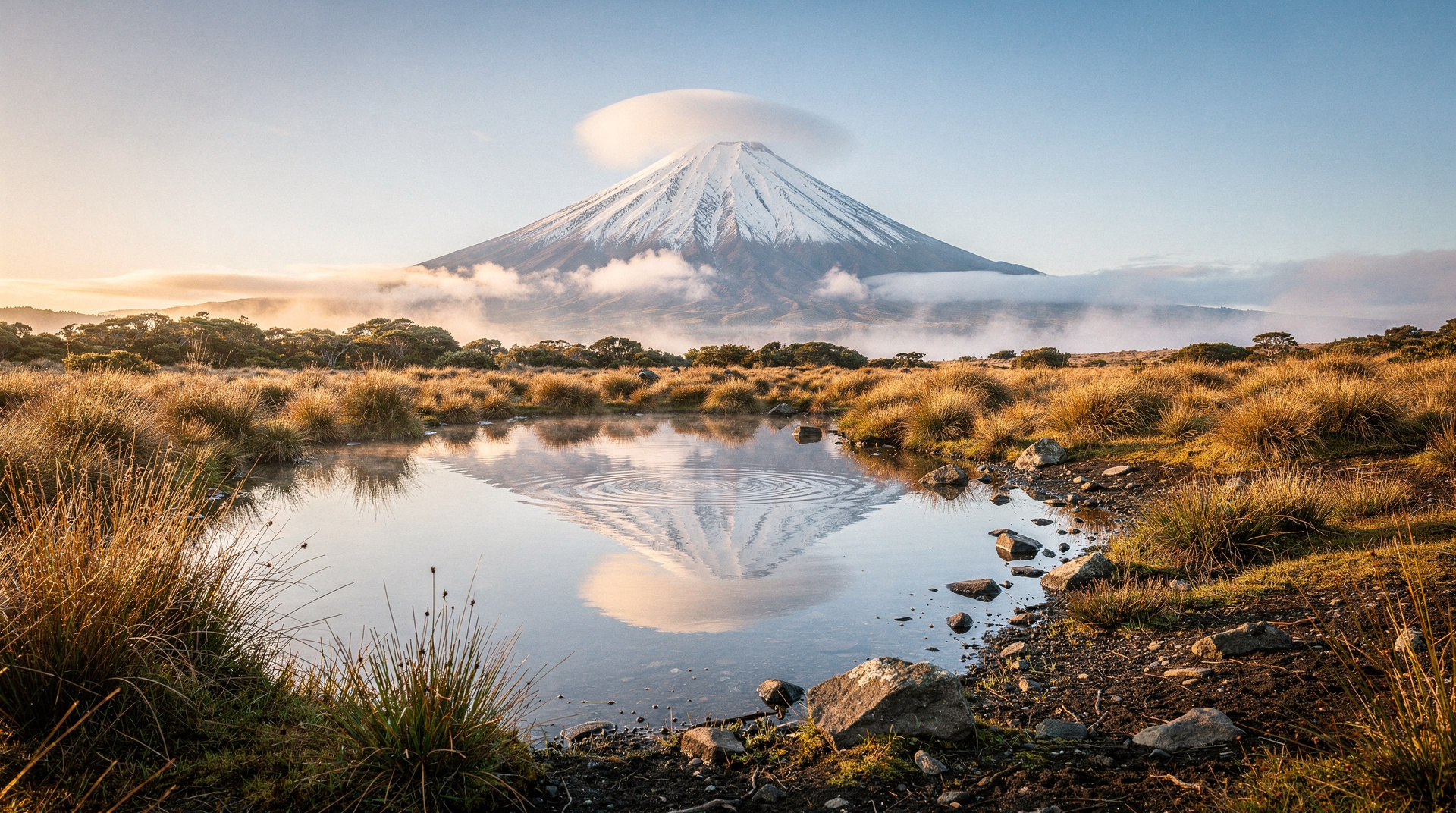
Mt Taranaki — visitor guide to New Plymouth's volcano
Mt Taranaki visitor guide: Egmont NP walks, summit access, Pouakai Crossing, cultural significance. Perfect volcanic cone 2518m, New Plymouth base.
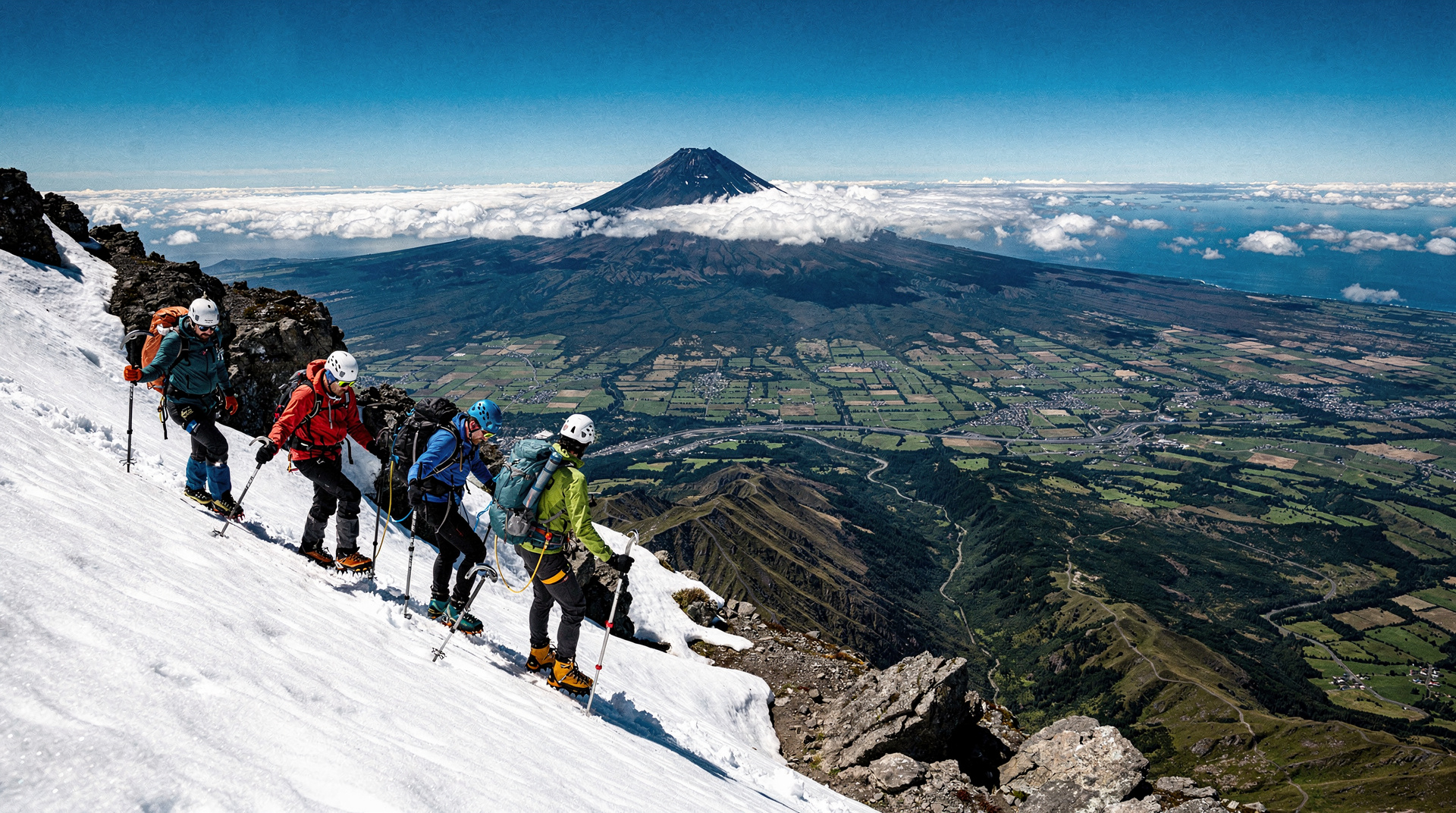
Mt Taranaki summit — serious mountaineering guide
Mt Taranaki summit: 2518m, 8-12 hours return, genuine mountaineering risk. Multiple deaths annually. Technical gear, competence, and guide essential in winter.
Related guides
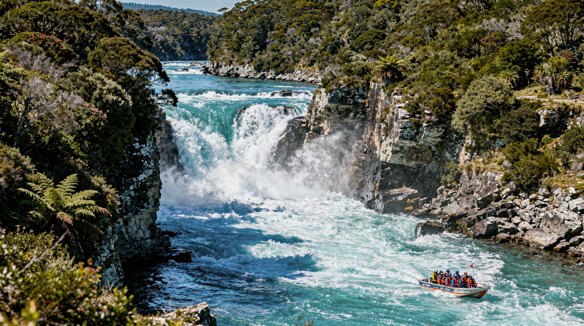
Waikato
Honest Waikato guide: Hobbiton Movie Set, Waitomo glowworm caves, Hamilton Gardens, Raglan surf. Real NZD/USD/EUR prices, what's worth your time.
Manawatu-Whanganui
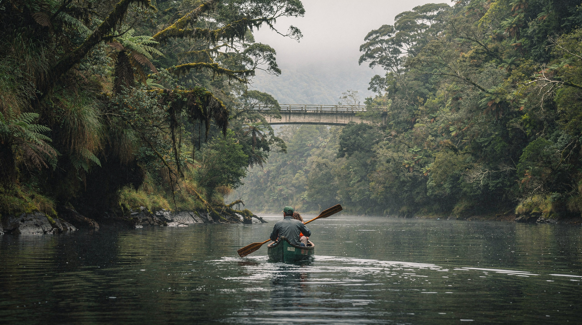
Manawatu-Whanganui: the Whanganui River Journey Great Walk by canoe, Palmerston North, and the Forgotten World Highway. Real costs NZD/USD/EUR.
Wellington
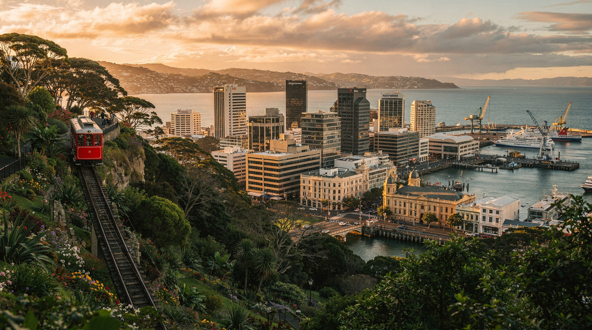
Honest Wellington guide: Te Papa museum, Weta Workshop LOTR tours, Zealandia, Cuba Street, ferry to South Island, real prices NZD/USD/EUR.
Mt Taranaki — visitor guide to New Plymouth's volcano
Mt Taranaki visitor guide: Egmont NP walks, summit access, Pouakai Crossing, cultural significance. Perfect volcanic cone 2518m, New Plymouth base.
Mt Taranaki summit — serious mountaineering guide
Mt Taranaki summit: 2518m, 8-12 hours return, genuine mountaineering risk. Multiple deaths annually. Technical gear, competence, and guide essential in winter.
Maori culture overview — what every visitor should know
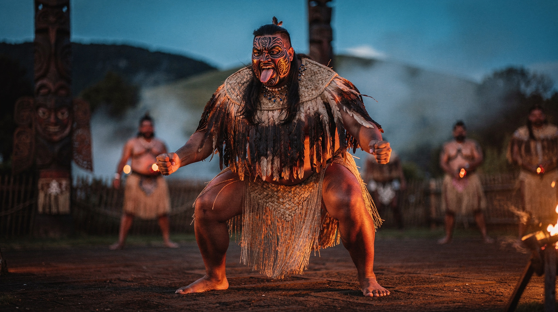
Respectful introduction to Maori culture for visitors: tangata whenua, Te Tiriti, tikanga basics, language, cultural experiences, and how to engage honestly.
7-day North Island itinerary — the essential highlights
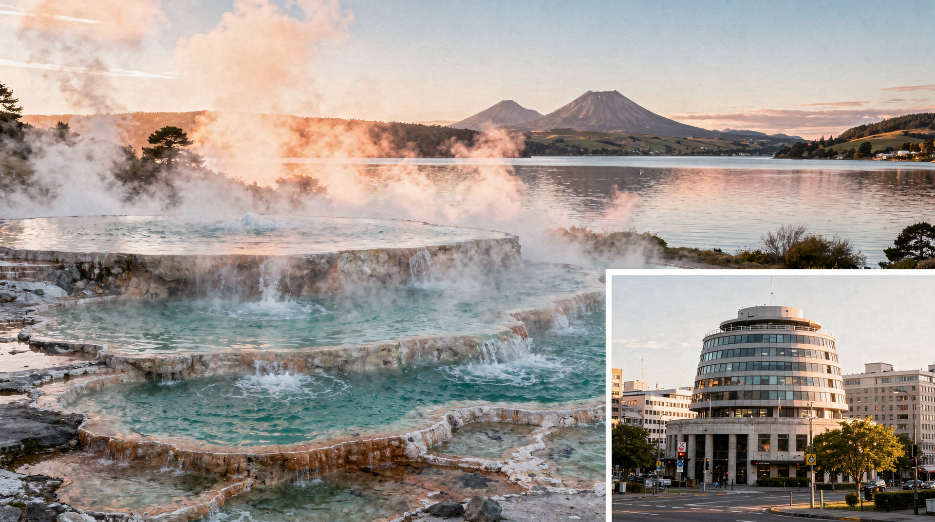
Auckland → Bay of Islands → Hobbiton → Waitomo → Rotorua → Taupo → Tongariro → Wellington. 7 days, both car and costs covered honestly.
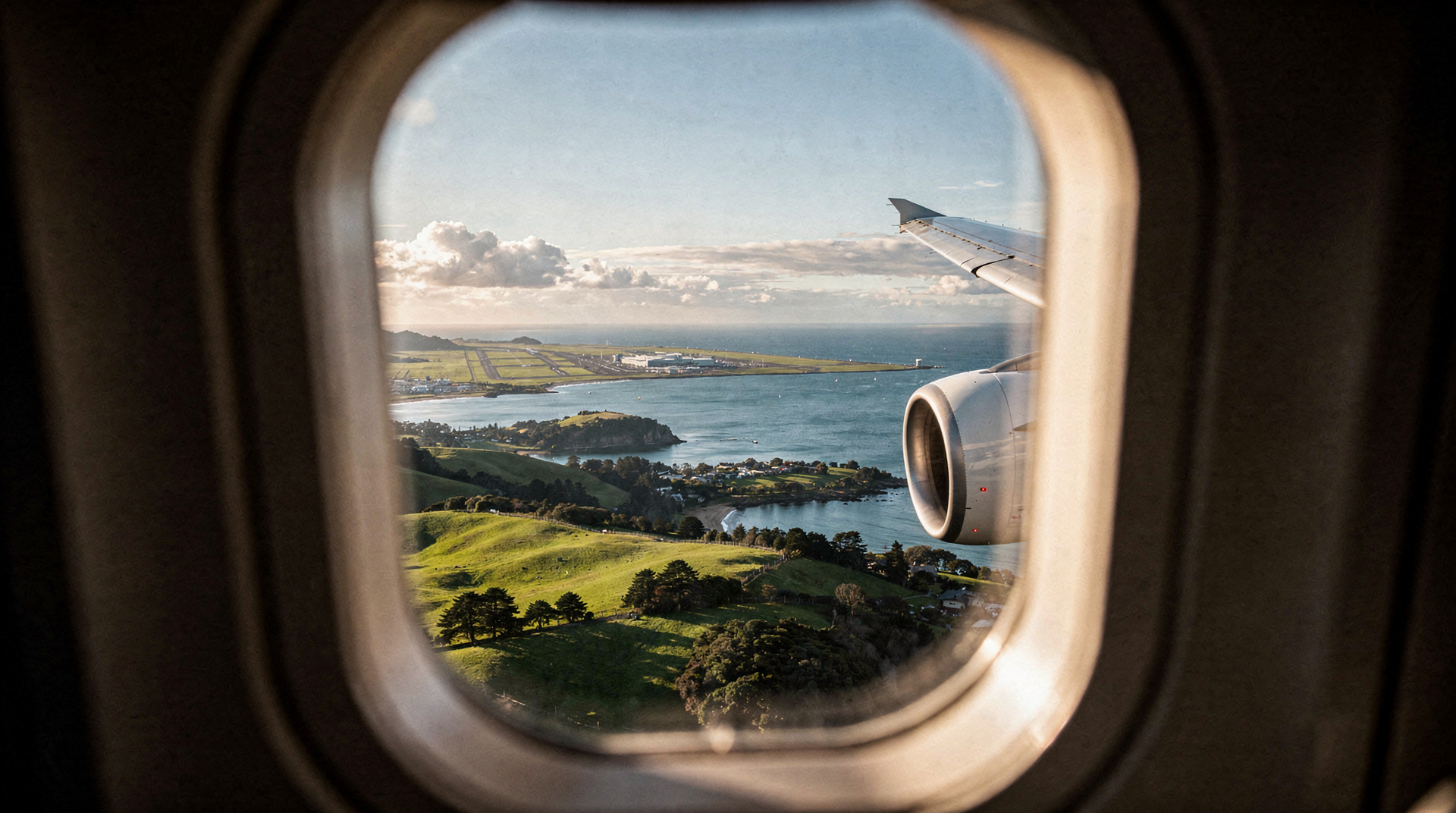
Why New Zealand is worth the flight
After three trips to New Zealand from Europe, here's the honest cost-benefit: when 24 hours in transit pays off, and when it doesn't.
Last reviewed: