Mt Taranaki — visitor guide to New Plymouth's volcano
Is Mt Taranaki worth visiting if I'm not climbing to the summit?
Absolutely. The lower Egmont National Park walks — Wilkies Pools, Dawson Falls, the Enchanted Walk — are excellent without any summit commitment. The mountain's nearly perfect volcanic cone is best appreciated from New Plymouth's coastal walkway. The Pouakai Crossing (two-day circuit) is one of New Zealand's best unmarked walking routes. You don't need to summit to have a memorable visit.
New Zealand’s most perfectly shaped mountain
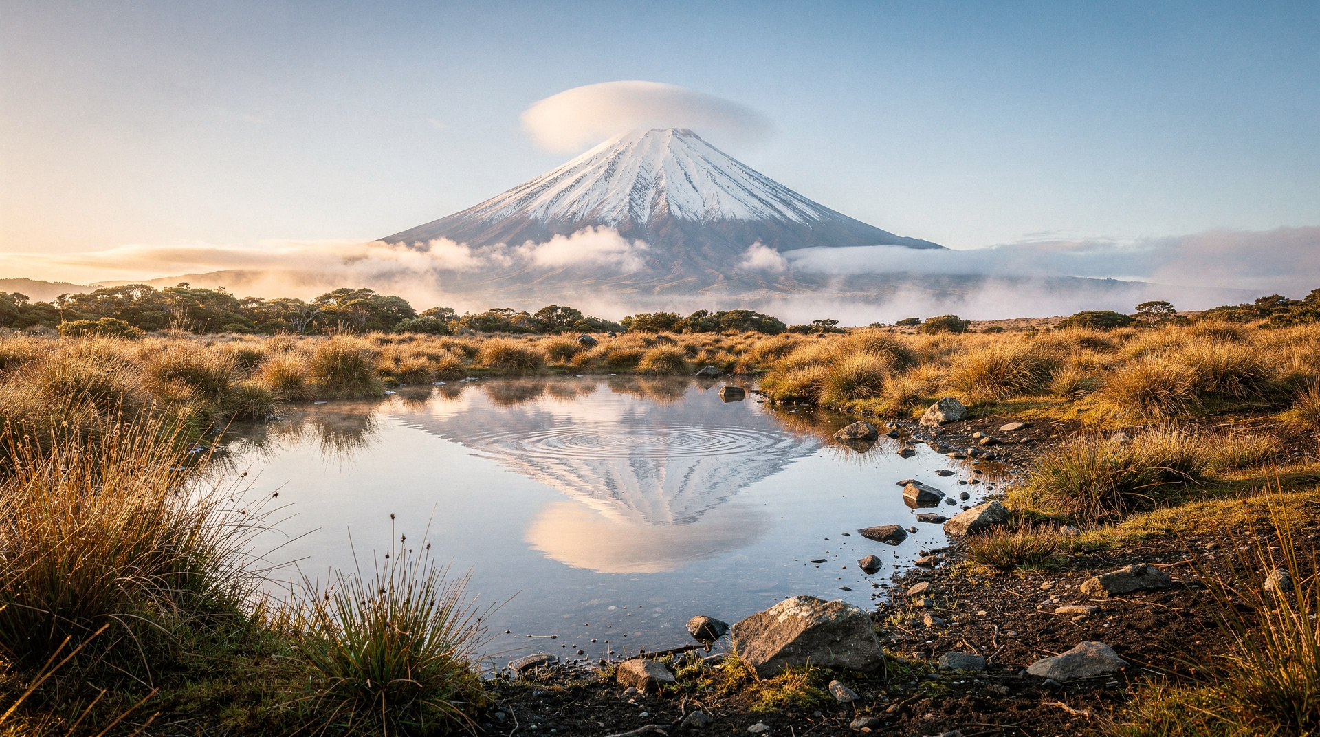
Mt Taranaki is New Zealand’s most visually distinctive mountain. From New Plymouth’s coastal walkway, or from the farmland that circles the Taranaki region in every direction, the near-perfect volcanic cone rises from sea level to 2,518m in an almost unbroken slope — a shape more geometrically precise than Fuji, Rainier, or most of the world’s other conical volcanoes.
The mountain is sacred to Taranaki iwi, who consider it an ancestor (tīpuna) and the embodiment of a warrior who fled south from the central North Island after a conflict. In te reo Maori, the mountain is called Taranaki — the name Mt Egmont (the colonial name used on maps and in Egmont National Park’s official designation) is progressively giving way to dual naming in common usage, mirroring the Aoraki/Mt Cook model.
The mountain last erupted approximately 250 years ago, making it New Zealand’s most likely candidate for the next volcanic eruption. GNS Science monitors it continuously. It is a real volcano, not a dormant relic.
Egmont National Park: an overview
Egmont National Park is New Zealand’s second-oldest national park (1900), established partly to protect the remnant native bush that surrounds Taranaki. The mountain rises from a largely agricultural region — dairy farms extend to the national park boundary on almost all sides — making the bush transition abrupt and visually striking.
Three visitor centres provide access:
- North Egmont (Egmont Village): Main centre, closest to New Plymouth (26 km). Most popular access point and start of the standard summit route.
- Dawson Falls: South side access, spectacular waterfall 15 minutes from the car park.
- Stratford Mountain House: East face access, accommodation available.
Lower walks: no summit required
Wilkies Pools (2 km loop, 1 hour, easy): A short circuit through native bush to a series of pools formed by volcanic rock erosion. Suitable for all ages. One of the best short walks in the North Island for native birdlife.
Enchanted Walk (30 min loop, easy): Native bush circuit from North Egmont visitor centre. Fantails, tūī, and bellbird (korimako) regularly encountered.
Dawson Falls (15 min return, easy): From the Dawson Falls visitor centre to a 17m waterfall into a volcanic rock pool. The falls are striking after rain. The road to Dawson Falls visitor centre (900m altitude) gives excellent mountain views.
Kapuni Loop (1.5 hours, easy-moderate): Longer forest loop from Dawson Falls with views of the Kaitake Range and the south Taranaki coast.
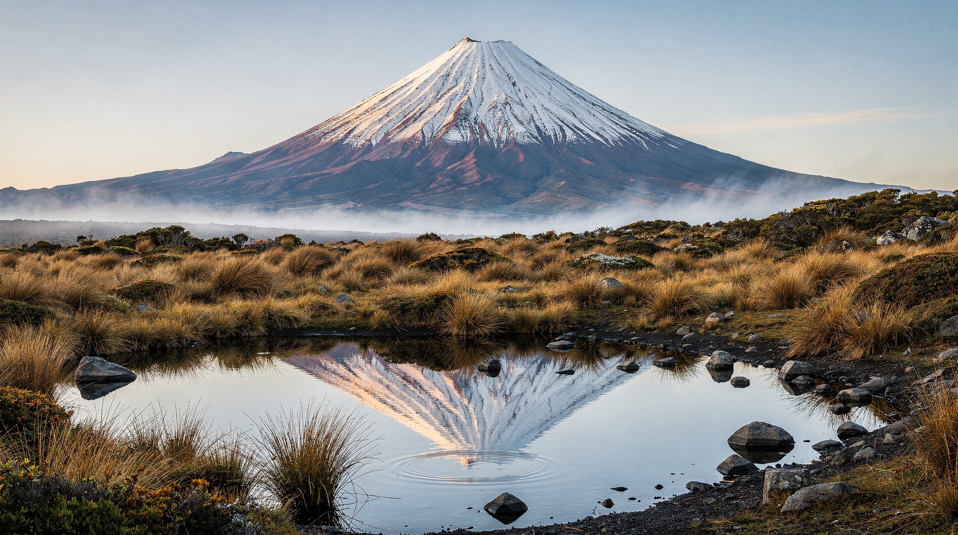
Pouakai Trig and Tarns (6-8 km return, 4-5 hours, moderate): From North Egmont, a return walk to the Pouakai Range (separate peak from Taranaki) with the famous Pouakai Tarns reflecting pool photograph. This is the most photographed image in the Taranaki region — the pool reflects the cone on still mornings.
The Pouakai Crossing: Taranaki’s hidden great walk
The Pouakai Crossing is a 25 km point-to-point walk (or 2-day circuit) through Egmont National Park that rivals the Tongariro Alpine Crossing in landscape variety. Unlike the Tongariro, the Pouakai Crossing is not promoted as a major tourist attraction, and it receives a fraction of the visitor numbers.
The crossing traverses the lower Taranaki volcanic flanks, the Ahukawakawa wetland (a rare Gondwanan wetland ecosystem), and the Pouakai Range — passing the famous reflection pool (Pouakai Tarns) en route. It is not a DOC-designated track in the same way as Great Walks but is well-marked and covered in the DOC visitor guide.
Standard Pouakai Crossing (day walk): North Egmont to Yarrow Street, 25 km one way, 8-10 hours. Point-to-point requiring transport at both ends.
Two-day circuit: Stay at the Pouakai Hut (DOC, NZD 15/night standard backcountry fee), allowing the Pouakai Tarns in the morning light.
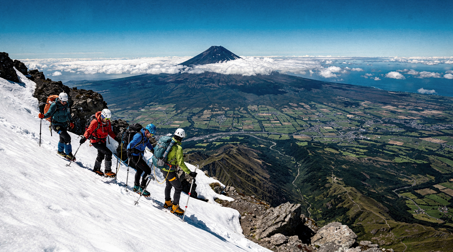
Summit access and safety
The full summit guide — including the specific death toll data, gear requirements, and seasonal safety assessment — is in the dedicated Mt Taranaki summit guide. The summary:
- Summer summit (November-April): challenging, possible for fit and appropriately equipped walkers
- Winter summit (May-October): requires ice axe, crampons, and alpine experience
- Average 2-3 deaths per year — the most dangerous mountain in New Zealand
Do not attempt the summit without reading the dedicated summit guide first.
The mountain from New Plymouth
The best free experience of Mt Taranaki is from New Plymouth itself. The coastal walkway (13 km from Fitzroy Beach to Bell Block) offers uninterrupted views of the cone across the farmland on clear days. The Puke Ariki museum has an outstanding collection on Taranaki history and iwi culture.
Len Lye Centre, immediately adjacent to the Govett-Brewster Art Gallery, is worth a visit even for non-art tourists — the stainless steel building reflects the mountain and sky in a way that becomes the experience.
Cultural significance: Taranaki iwi and the mountain
The narrative of the mountain is inseparable from Taranaki iwi history. The account of Taranaki fleeing south after conflict with Ruapehu and Tongariro explains the geographical relationship between the mountains and reflects iwi territorial understanding.
Today, the mountain is at the centre of an ongoing Treaty of Waitangi claim by Taranaki iwi for legal personhood — similar to the Whanganui River, which was granted legal standing in 2017. The claim is pending and represents one of the most significant Treaty processes in contemporary New Zealand.
Visitors can learn more about this context through the North Egmont visitor centre and the Puke Ariki museum in New Plymouth.
Seasonal information
Summer (November-April): Best conditions for both summit attempts and lower walks. The Pouakai Crossing is excellent in this period. Waterfalls are impressive after rain.
Winter (May-October): Summit covered in snow and ice. Lower walks remain excellent and the mountain in snow is visually extraordinary. The Dawson Falls area can have snow to the visitor centre in deep winter — check conditions.
Best viewpoint conditions: Early morning before sea fog rolls in. The mountain is clearest from New Plymouth’s coastal walkway in the hour after sunrise.
Cost breakdown (NZD / USD / EUR)
| Experience | NZD | USD | EUR |
|---|---|---|---|
| National park walks | Free | Free | Free |
| Pouakai Hut (2-day circuit) | 15/night | 9 | 8 |
| Summit guide (winter, guided) | 300-500 | 180-300 | 166-275 |
| New Plymouth accommodation | 70-180 | 42-108 | 39-99 |
Frequently asked questions
What is the best view of Mt Taranaki?
From the water — the coastal walkway in New Plymouth or the surf beaches south of the city (Oakura, Okato) give the unobstructed view across farmland to the cone. The Pouakai Tarns reflection pool (3-4 hours walking from the visitor centre) is the most dramatic close-up view. At sea, the mountain is visible from over 100 km offshore.
Is GYG coverage available for Taranaki activities?
Taranaki is a known gap in GYG coverage — there are no GYG tours based here. Visitors relying on organised tours should arrange local operators through the i-SITE in New Plymouth.
How far is Mt Taranaki from Wellington?
350 km, approximately 4.5 hours by road via the coast road (SH1 north to Whanganui, then SH3 to New Plymouth). The interior route via Palmerston North is similar distance. Most visitors include Taranaki in a North Island circuit rather than as a Wellington day trip.
Can I see Taranaki from the South Island?
On exceptional days, yes — the mountain is visible from the Marlborough Sounds and the northern tip of the South Island. This is rare and requires ideal atmospheric conditions.
Related guides and reading
- Mt Taranaki summit guide — full safety information for the summit attempt
- Taranaki destination guide
- Tongariro Alpine Crossing — comparable North Island volcanic walk
- Mt Ruapehu guide — the central North Island ski mountain
Related guides
Taranaki
Taranaki: the perfect cone of Mt Taranaki, New Plymouth arts, the Forgotten World Highway. Zero GYG tours, book direct. Real prices NZD/USD/EUR.
Mt Taranaki summit — serious mountaineering guide
Mt Taranaki summit: 2518m, 8-12 hours return, genuine mountaineering risk. Multiple deaths annually. Technical gear, competence, and guide essential in winter.
Tongariro Alpine Crossing
Honest Tongariro Crossing guide: 19.4km, 7-9 hours, shuttle logistics, gear, and why winter without a guide has killed people.
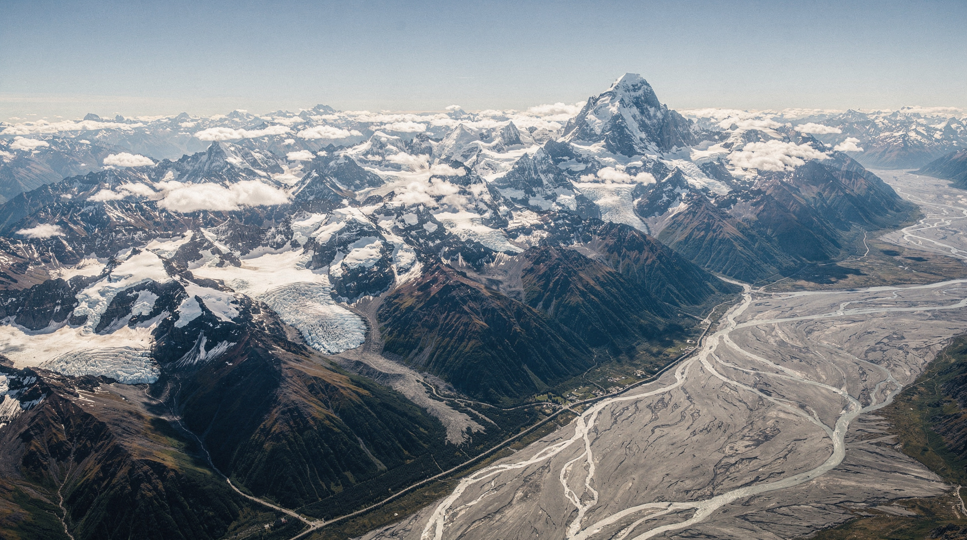
Southern Alps — overview of New Zealand's mountain spine
Southern Alps overview: 500km mountain spine, 19 peaks over 3000m, world's longest non-polar glaciers. How to access, experience, and understand NZ's backbone.
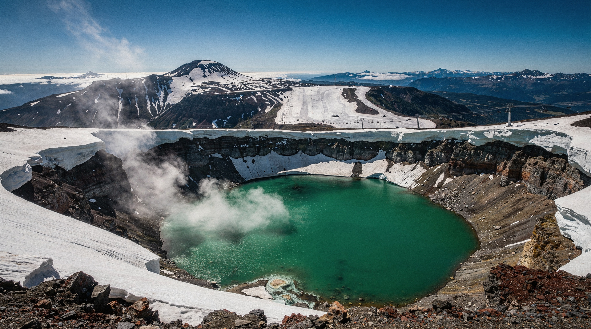
Mt Ruapehu — North Island ski and volcanic guide
Mt Ruapehu guide: Whakapapa and Turoa ski fields, active crater lake, Tongariro walks. North Island's ski capital — 2765m active volcano. Access and costs.
Last reviewed: