Mt Taranaki summit — serious mountaineering guide
How dangerous is Mt Taranaki summit?
Mt Taranaki is the most dangerous mountain in New Zealand by recorded deaths — averaging 2-3 fatalities per year over the past decade. The summit requires an ice axe and crampons in winter (May-October), and the ability to self-arrest. In summer (November-April), it's a serious but manageable alpine challenge. Never solo in winter without alpine experience.
The honest death toll first
Before anything else: Mt Taranaki has recorded more fatal accidents than any other mountain in New Zealand. The tally averages 2-3 deaths per year over the past decade, with years of 4 or 5 fatalities. The reasons are consistent: summer trampers underestimating the conditions, winter alpinists without adequate ice axe technique, and the mountain’s ability to produce violent weather from a clear-sky start.
This guide is honest about the risk because the mountain’s aesthetic beauty — a near-perfect volcanic cone, 2518m, visible from 150 km away on clear days — consistently attracts walkers who treat it like a challenging day hike. It is not a challenging day hike. It is a real mountain with real alpine hazards, and the casualty list reflects the gap between expectation and reality.
None of this means the summit is impossible. In good summer conditions, experienced walkers with appropriate gear complete the summit frequently. This guide tells you exactly what that means.
Quick stats
| Detail | Value |
|---|---|
| Summit elevation | 2518m |
| Standard route distance | 12.5 km return (Egmont Visitor Centre) |
| Total climb | ~1600m |
| Average time | 8-12 hours return (summit) |
| Difficulty | Challenging (summer) / Mountaineering (winter) |
| Cost | Free (Egmont National Park, DOC) |
| Season for non-technical walkers | November to April |
| Winter (May-October) | Ice axe, crampons, and alpine experience required |
The three routes to the summit
Maude Road (via Egmont Visitor Centre) — standard summer route
Starting at the Egmont Visitor Centre (North Egmont, 1180m), this is the most popular and best-maintained route. The track ascends through native bush and subalpine scrub to the Tahurangi Shelter (1900m), then via Lizard Ridge to the summit crater. Total return distance: 12.5 km. Total ascent: ~1600m.
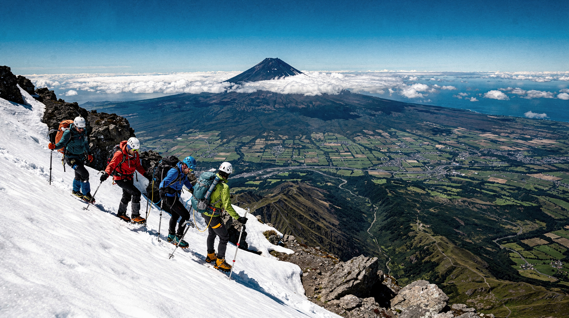
The route above Tahurangi Shelter involves scrambling on loose volcanic rock. The final section to the summit crater rim is over scree and (in any season) potentially icy in morning conditions. This section is where most accidents occur — the combination of loose rock, exposure, and sudden weather change produces the highest consequence.
Dawson Falls Route — alternative south approach
Starting from Dawson Falls visitor centre (900m) on the south side. Longer total distance (~16 km return) but different views and character. Less popular than the Maude/North Egmont approach. The south face is steeper in its upper section.
East Face (Stratford) — technical route
Via the Stratford Mountain House. The east face approach is more technical and rarely used by non-climbers.
The summit in summer (November-April): a detailed safety assessment
Summer here means conditions that allow the summit without crampons and ice axe on most days. This is not the same as the summit being safe on all summer days.
Weather windows: The only days to attempt the summit are those with a forecast of settled conditions for the full 10+ hours you’ll be on the mountain. Mt Taranaki is notorious for rapid deterioration — clear morning to violent storm in under an hour. The mountain creates its own weather patterns that local forecasters track specifically (check the MetService mountain forecast for Taranaki, not general regional forecasts).
What good summer conditions look like: Clear sky, low wind at summit level (below 40km/h), no precipitation forecast, good visibility. If the summit is cloud-capped when you start, turn around.
The upper section risk: Above 2000m, the volcanic rock is loose and unstable. Falls on this section produce serious injuries. The final 200m to the summit crater rim involves careful route selection on scree. Parties should not move simultaneously on this section.
Descent: Most accidents happen on descent. The combination of fatigue, loose rock, and tighter knee angles on downhill scrambling produces most of the falls recorded on Taranaki. Allow as much time for descent as ascent. Don’t rush the last section.
Winter (May-October): a different mountain
In winter, Mt Taranaki is ice-covered from approximately 1400m and requires full alpine equipment:
- Ice axe (not optional — the ability to self-arrest on a 35-45 degree ice slope is a survival skill here)
- Crampons (12-point technical crampons, not micro-spikes)
- Helmet (rockfall from climbers above is a documented hazard)
- Navigation equipment (whiteout navigation at 2500m with near-zero visibility is a documented scenario)
- Avalanche transceiver (the summit ice cap can produce significant slabs)
People die on Taranaki in winter because they arrive with walking poles and trail runners, see others heading up, and follow. The mountain does not forgive this.
If you want to summit in winter without alpine experience, hire a guide. The Te Anau: Jet Boat Ride & Kepler Track Guided Hike is not relevant here — Taranaki guided summits are arranged through local Taranaki guiding operators (Eastern Taranaki Experience, Summit Guides Taranaki). Expect NZD 300-500 / USD 180-300 / EUR 166-275 per person for a guided winter summit.
What to pack (summer summit)
Non-negotiable:
- Full waterproofs (jacket and trousers, not a single soft-shell)
- Warm insulating layer (even in January, the summit can be 0°C with wind)
- Helmet (strongly recommended — rockfall is possible above 2000m)
- 2.5-3 litres of water (no water above the visitor centre)
- Food for 10-12 hours (substantial caloric requirement)
- Emergency shelter (a bivy bag or emergency blanket — the exposed summit in sudden storm is survivable only with shelter)
- First aid kit and PLB (personal locator beacon — hire one from the visitor centre if you don’t have one)
Ice axe and microspikes (October-November, March-April shoulder season): Carry these even in “good” shoulder season conditions. The summit crater rim can be icy at any time.
Pre-trip: the DOC visitor centre briefing
Stop at the Egmont National Park Visitor Centre (North Egmont) before any summit attempt. The staff conduct condition checks — they will tell you honestly if conditions are appropriate. If they say don’t go, this is not a suggestion.
Leave your intentions (name, party size, expected return time) with the visitor centre or the hut warden at Tahurangi Lodge. If you don’t return within 2 hours of your estimated time, search and rescue will be initiated.
The summit experience
On a clear day, the summit crater rim of Taranaki offers one of the most extraordinary views in New Zealand. The Tasman Sea is visible to the west (80 km). On exceptional days, both the North Island’s central volcanoes (Ruapehu, Ngauruhoe, Tongariro) and the South Island’s Kaikōura Ranges are visible simultaneously.
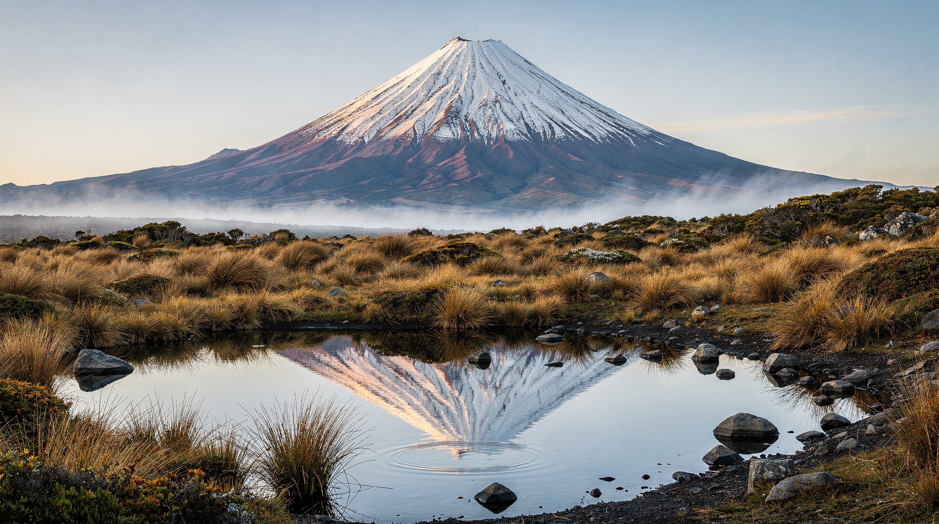
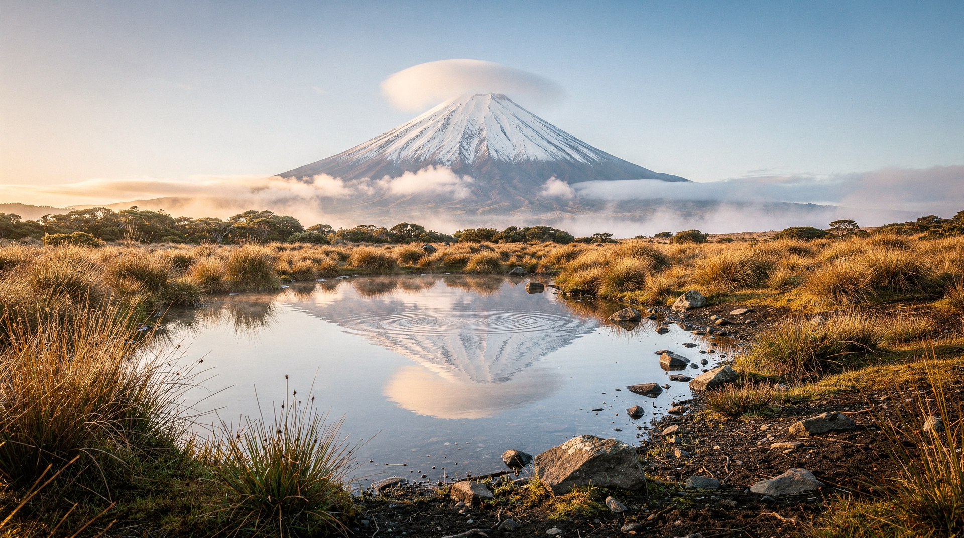
The crater itself contains a remnant ice cap — permanent glacial ice at the summit of a Pleistocene volcano. At 2518m, Mt Taranaki is the sixth-highest mountain in New Zealand. The perfect cone shape (visible from sea level) is the result of relatively consistent lava flow patterns over 130,000 years of volcanic activity.
The mountain is spiritually significant to Taranaki iwi — it is an ancestor (tīpuna) in their cosmology. The summit is maunga tapu (sacred mountain). Treat it with corresponding respect.
Cost breakdown (NZD / USD / EUR)
| Item | NZD | USD | EUR |
|---|---|---|---|
| Track (DOC national park) | Free | Free | Free |
| PLB hire (visitor centre) | 25-40/day | 15-24 | 14-22 |
| Guided winter summit | 300-500 | 180-300 | 166-275 |
| New Plymouth accommodation | 80-180 | 48-108 | 44-99 |
| Gear hire (ice axe + crampons) | 40-70 | 24-42 | 22-39 |
Frequently asked questions
Is the Taranaki summit harder than Tongariro Alpine Crossing?
Substantially harder, and significantly more dangerous. The Tongariro Crossing (19.4 km, 765m ascent) is a well-managed alpine walk where serious accidents are rare. The Taranaki summit involves 1600m of ascent, loose volcanic rock above 2000m, and a mountain with a documented casualty rate. The two walks are in completely different risk categories.
Can I see the summit without attempting it?
Yes — Mt Taranaki is visible from throughout the region on clear days. The Egmont National Park visitor centre has short walks (the Enchanted Walk, 30 minutes) that access the lower native bush without summit commitment. The Dawson Falls walkway and Wilkies Pools loop (1.5 hours) are excellent without any alpine risk.
Should I hire a guide?
In summer, a solo experienced hiker with appropriate gear can summit safely. In any shoulder season or winter condition, a guide is strongly recommended unless you have documented alpine experience elsewhere. The mountain’s casualty rate is your evidence.
What’s the nearest town?
New Plymouth, 28 km northwest of the mountain, is the main base. Stratford (12 km east) is closer and has accommodation options.
Related guides and reading
- Mt Taranaki general guide — the full mountain guide including visitor information
- Taranaki destination guide
- Tongariro Alpine Crossing guide — safer comparable experience
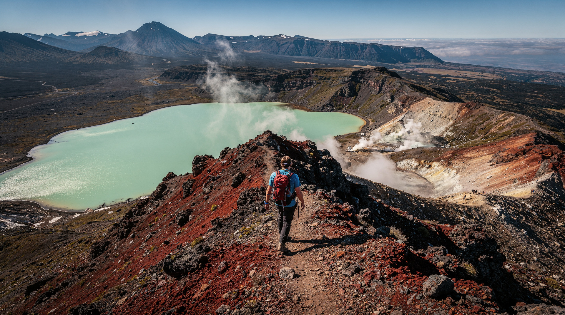
- Southern Alps overview — NZ’s mountain landscape context
Related guides
Taranaki
Taranaki: the perfect cone of Mt Taranaki, New Plymouth arts, the Forgotten World Highway. Zero GYG tours, book direct. Real prices NZD/USD/EUR.
Mt Taranaki — visitor guide to New Plymouth's volcano
Mt Taranaki visitor guide: Egmont NP walks, summit access, Pouakai Crossing, cultural significance. Perfect volcanic cone 2518m, New Plymouth base.
Tongariro Alpine Crossing
Honest Tongariro Crossing guide: 19.4km, 7-9 hours, shuttle logistics, gear, and why winter without a guide has killed people.
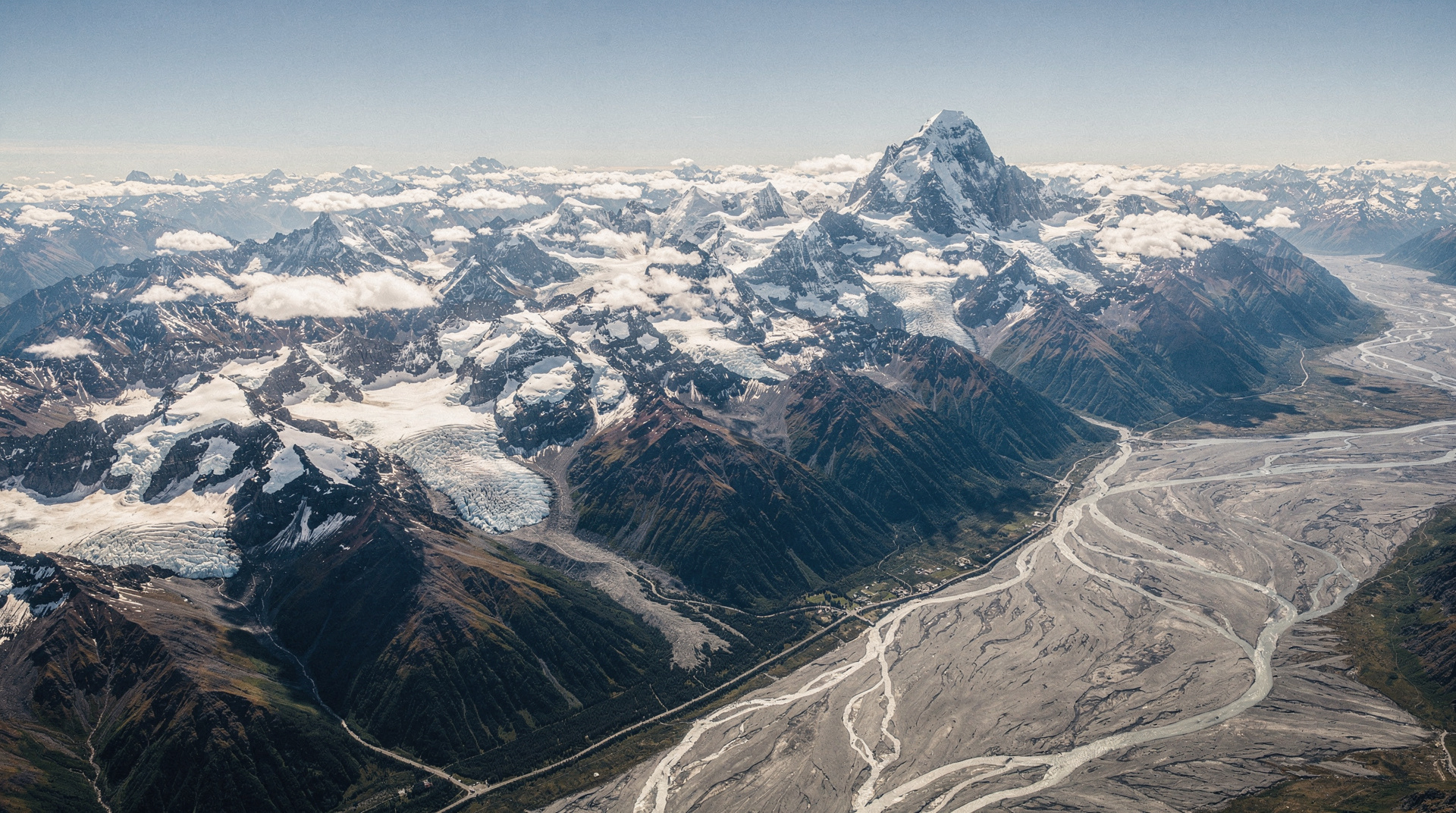
Southern Alps — overview of New Zealand's mountain spine
Southern Alps overview: 500km mountain spine, 19 peaks over 3000m, world's longest non-polar glaciers. How to access, experience, and understand NZ's backbone.
Last reviewed: